ArcRoute is out. What it does, and what has changed since 1.0
ArcRoute has been on the App Store since 20 September. Here is what it does, what 1.1 and 1.2 brought, and why the map covers twenty-seven countries.
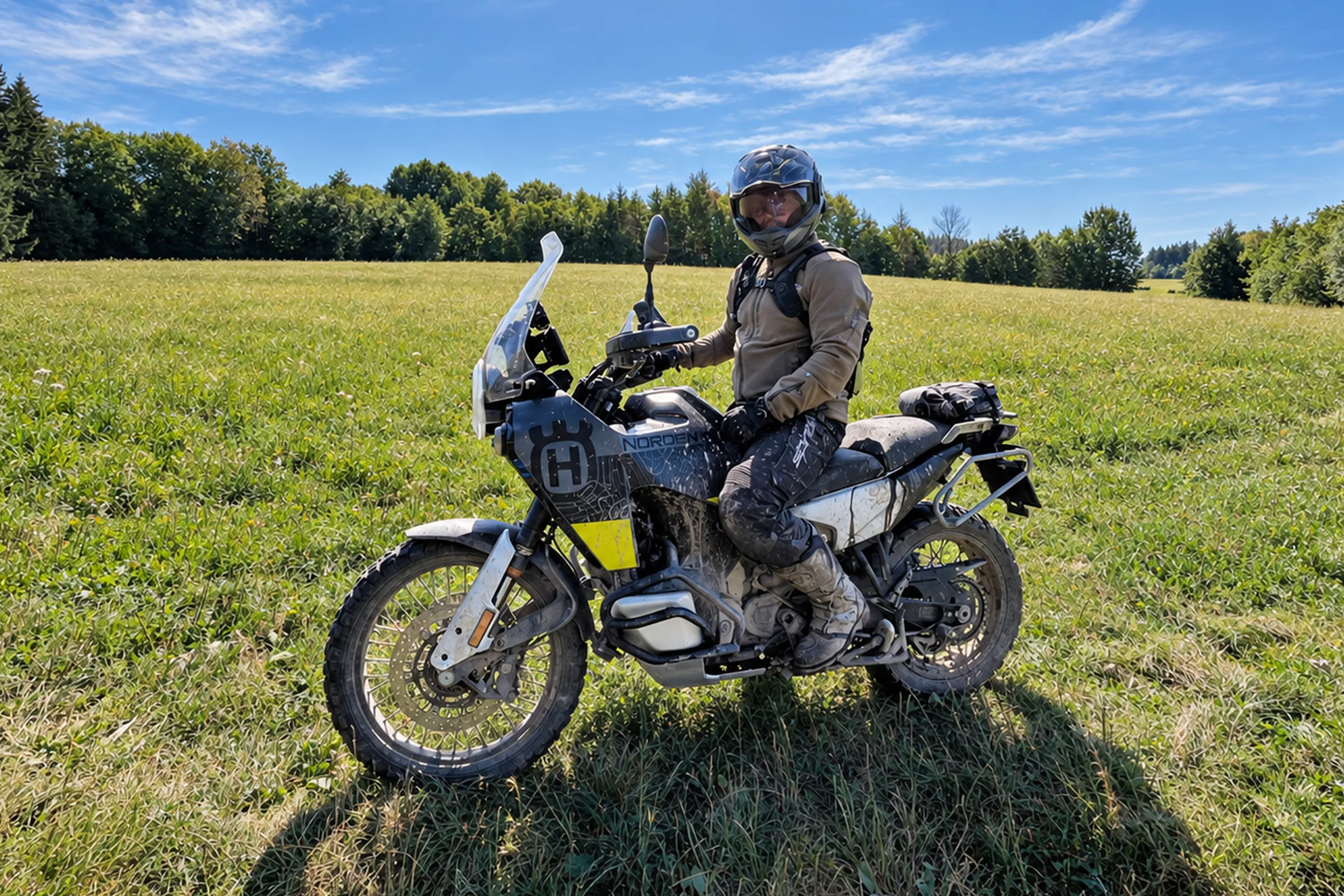
I’m Petr, a rider from Prague and the maker of ArcRoute, a motorcycle navigation that keeps its mind on the ride and leaves everything else out. The navigation I always wished I had. There is more about me on the About page.
On 20 September I managed to send the first version out, and 1.0 was on the App Store for anyone to download. Two more versions have come out since, and I’m already working on the next.
What ArcRoute does
You pick a destination and say how many bends you want, on a slider from Direct to Wild. ArcRoute then finds the roads worth riding and guides you along them all the way there. It can do that because it has scored every rideable road by how much it twists. It calls the turns into your helmet, so your eyes stay on the road.
When you’re not heading anywhere and only want to ride, it builds a loop from where you stand and brings you back to the start. It records every ride, even with your phone in your pocket, and everything you have ridden shows up on your heatmap.
And because I love riding the Trans Czech Trail and the Trans Euro Trail, both ridden from a downloaded track, riding a GPX is one of the things I care about most in ArcRoute. Load a track and ArcRoute keeps it exactly as drawn and guides you along it turn by turn.
What has changed since 1.0
Twenty-seven countries on the map. Riders asked for more countries within days of the release. So in early October I added Spain, Portugal, Andorra, Morocco, Britain, Ireland and the Benelux, and filled in the rest of France and Italy, which ArcRoute had only known in the Alps. The full list, with what the app has in each country, is in “Settings → Map data → Supported regions”.
A plan in about a second. A Wild route from Prague to Innsbruck used to keep me waiting fifteen seconds. Since 1.1 it is done in about a second, and a 500 km day plans in a few seconds instead of a minute.
The twisty stretches on the map are whole roads now. Tap the “Twisty” chip and pins appear on the twisty stretches around you. Pick one, tap “Ride this stretch” and you ride it from one end to the other. But when I went through those stretches in Britain, I found a hospital ring road nobody would get on a bike for, and bits of road shorter than a kilometre. So now every stretch is a whole road, the way you ride it, and at least two kilometres long. There are fewer of them, but they are real roads.
The ride controls are simpler and more intuitive. I tucked the buttons under the panel with your numbers. Tap it or swipe it up and you can pause, edit or end the ride. In gloves there is nothing to aim for, and nothing is in the way on the map. I’m already working on the next changes to the controls.
A whole trip fits in one plan. You can now put up to 150 points between start and destination, up from 48, enough for a trip of several days. A saved ride keeps its start even when you open it hundreds of kilometres away, and navigation takes you to that start first. And when a plan can’t be made, ArcRoute tells you why, say that it doesn’t work without a ferry. One tap then allows the ferry.
Satellite joined the map styles, too.
I ride with ArcRoute all the time, and every ride counts, mine and yours. If something doesn’t sit right on a ride, write to me. The messages come straight to me.
Petr.