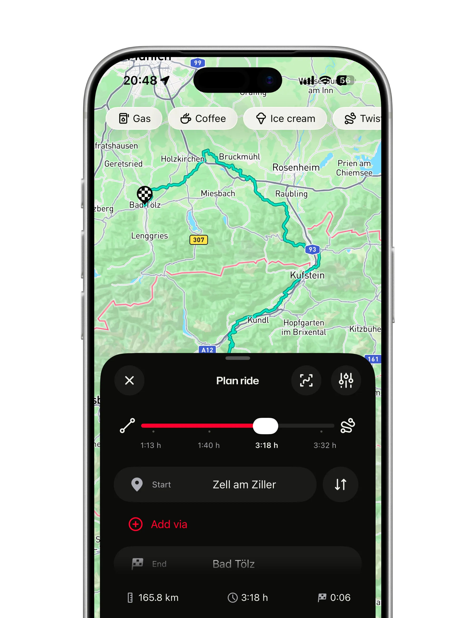
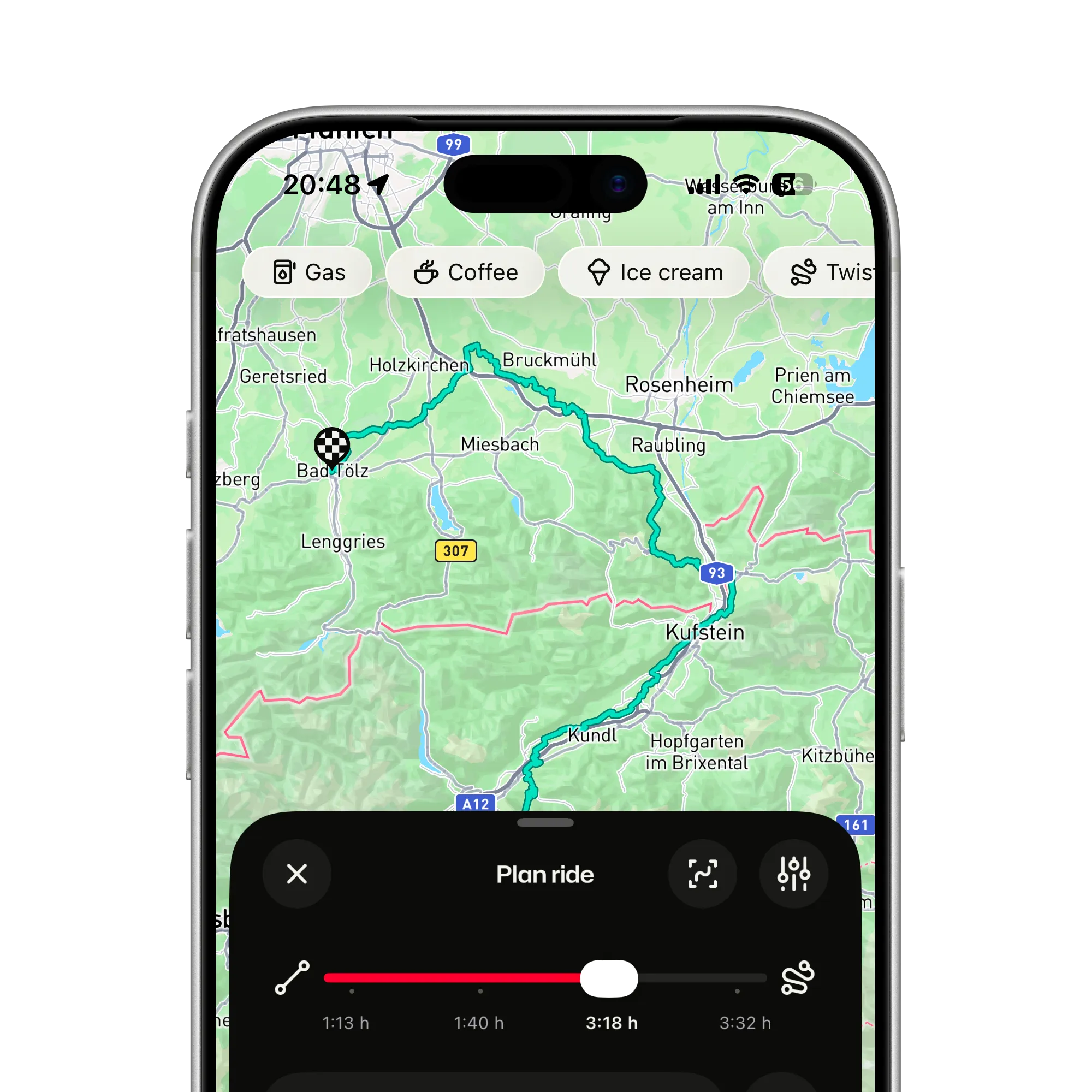
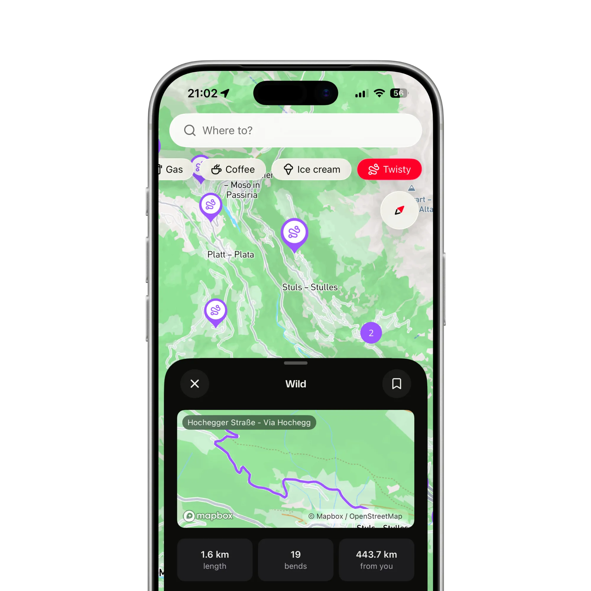
Every destination has a fast way there. ArcRoute gives you four, Direct, Balanced, Twisty and Wild, and shows the riding time under each before you pick.
By how much a road turns per kilometre: the bends inside each road segment are summed from the map geometry, not taken from ratings or reviews. That is why a short, tight stretch can score higher than a long, flowing one, and why the score is the same kind of number everywhere ArcRoute routes.
Does a twistier route take much longer?
That depends on the land you ride through, which is why the riding time sits under each slider step before you choose. In the hills Wild can double a ride; on the plains it may add ten minutes, because there is nothing to bend toward.
Can I still avoid motorways and tolls?
Yes. Highways, ferries, tolls and known closures each have a toggle, and they apply at every slider position. Direct with highways off is a fair way to get somewhere quickly without the motorway. Closures are Czechia only for now.
Can I save a twisty route for later?
Yes. Save the plan to your rides and navigate it in spring, or reverse it with one tap to ride it home the other way. Planning a route does not record it; the heatmap fills in only from rides you record.
Where does twisty routing work?
In the twenty-seven countries ArcRoute covers. All of them end to end: Albania, Andorra, Austria, Belgium, Bosnia and Herzegovina, Croatia, Czechia, France, Germany, Hungary, Ireland, Italy, Kosovo, Liechtenstein, Luxembourg, Montenegro, Morocco, the Netherlands, Poland, Portugal, Romania, Serbia, Slovakia, Slovenia, Spain, Switzerland and the United Kingdom. The coverage page shows each one with its roads.
Yes. Planning and rerouting are computed on ArcRoute’s routing server, so they need a connection. A saved ride replays from the phone afterwards, spoken turns included, without one.
Is twisty routing an extra?
No. One subscription unlocks everything, the slider included, and new subscribers get the first fourteen days free.